
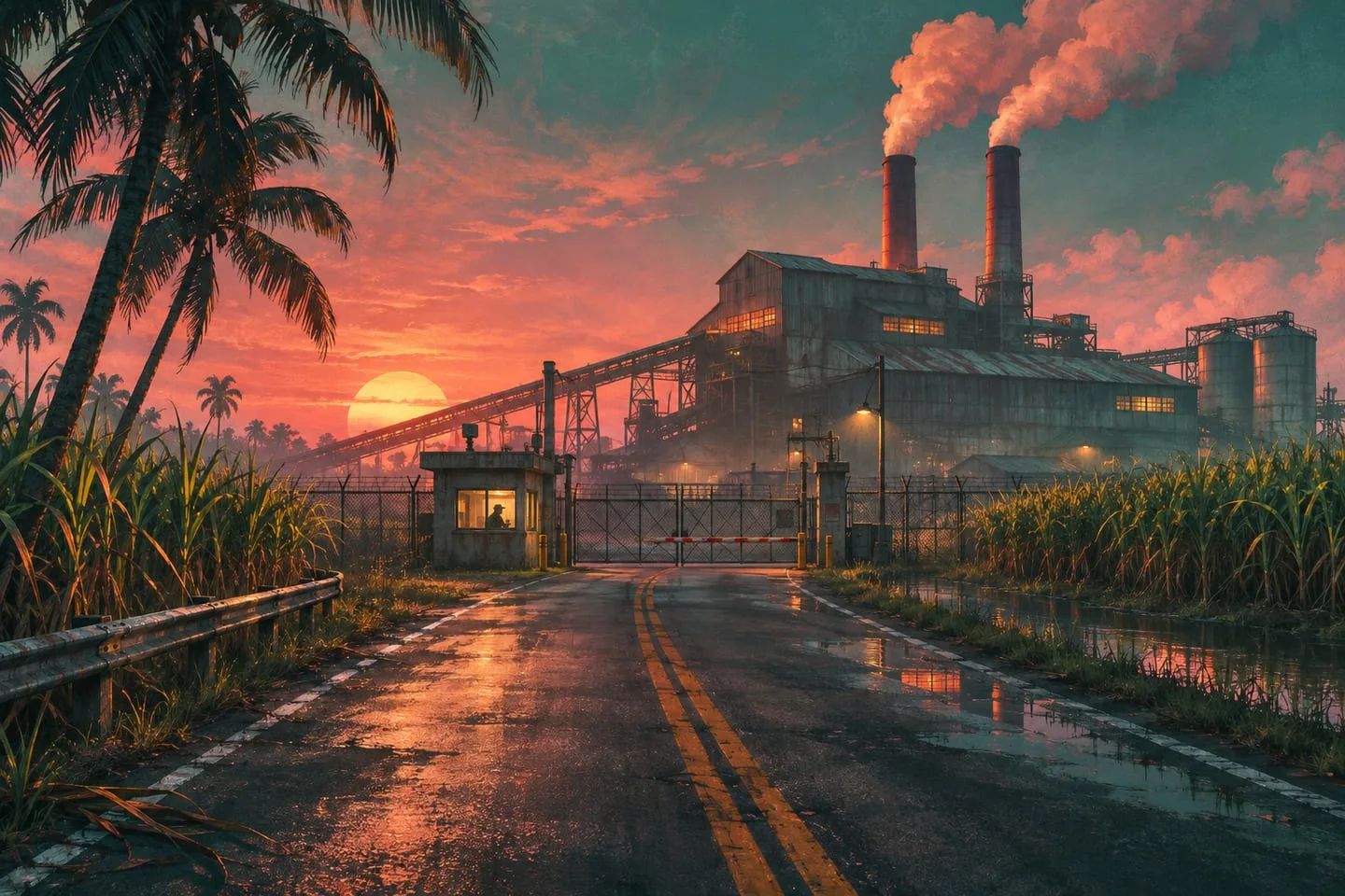
Ambrosia in GTA 6 — Allied Crystal and Leonida’s industrial landscape
The sugar refinery gives Ambrosia a skyline built around work. Read the landmark and its wider Lake Leonida setting.
 GTA Lab3 min read
The refinery gives the town its visual anchor
Allied Crystal’s sugar refinery connects Ambrosia to industrial work and the surrounding agricultural landscape. Its stacks and tanks create a recognizable silhouette that differs from both Vice City’s hotels and Port Gellhorn’s roadside signs. Lake Leonida provides a broader community-map reference, while the refinery gives an image a more local point of orientation.
Why the refinery belongs on your first map
The Allied Crystal refinery ties the region to agriculture and industrial work. On the community atlas, Lake Leonida gives the town a broad geographic reference. In a photo, the refinery’s stacks and tanks give you a local one. Keep both in mind: the lake tells you which part of the map to inspect and the plant tells you which direction the camera might be facing.
Compare the public road with the worksite
Try identifying where a common road passes nearby before looking for a gate. A daytime view may expose more of the industrial layout while a night shot makes high structures easier to pick out. Rockstar’s Ambrosia series gives you several angles to work from. A map of the eventual playable site should confirm which approaches really connect.
Record the roadside view
Look for a tall structure behind a shorter one and note the road or rail edge in front of both. Industrial sites repeat shapes, so a tank or shed alone is little help. A pair of structures at different depths gives you a skyline you can compare across several official frames.
Find an approach separately
Once you match the skyline, look for the gate, junction or bridge that gives the most plausible approach. Keep that as a separate note. A good view of a site from the outside does not establish a route into it, and an apparent entrance can be decorative.
Use the landmark at two different scales
At regional scale, ask where the industrial area sits relative to water and major roads. At street scale, use the arrangement of tanks, stacks and adjoining buildings to judge a viewpoint. This approach makes a screenshot comparison more precise without pretending the entire facility has been mapped or is accessible. Industrial surroundings can be interesting because routes serve deliveries and work sites, but exact entrances and playable interiors need their own evidence. Start with the official introduction, then use the atlas to explore the approximate setting.