
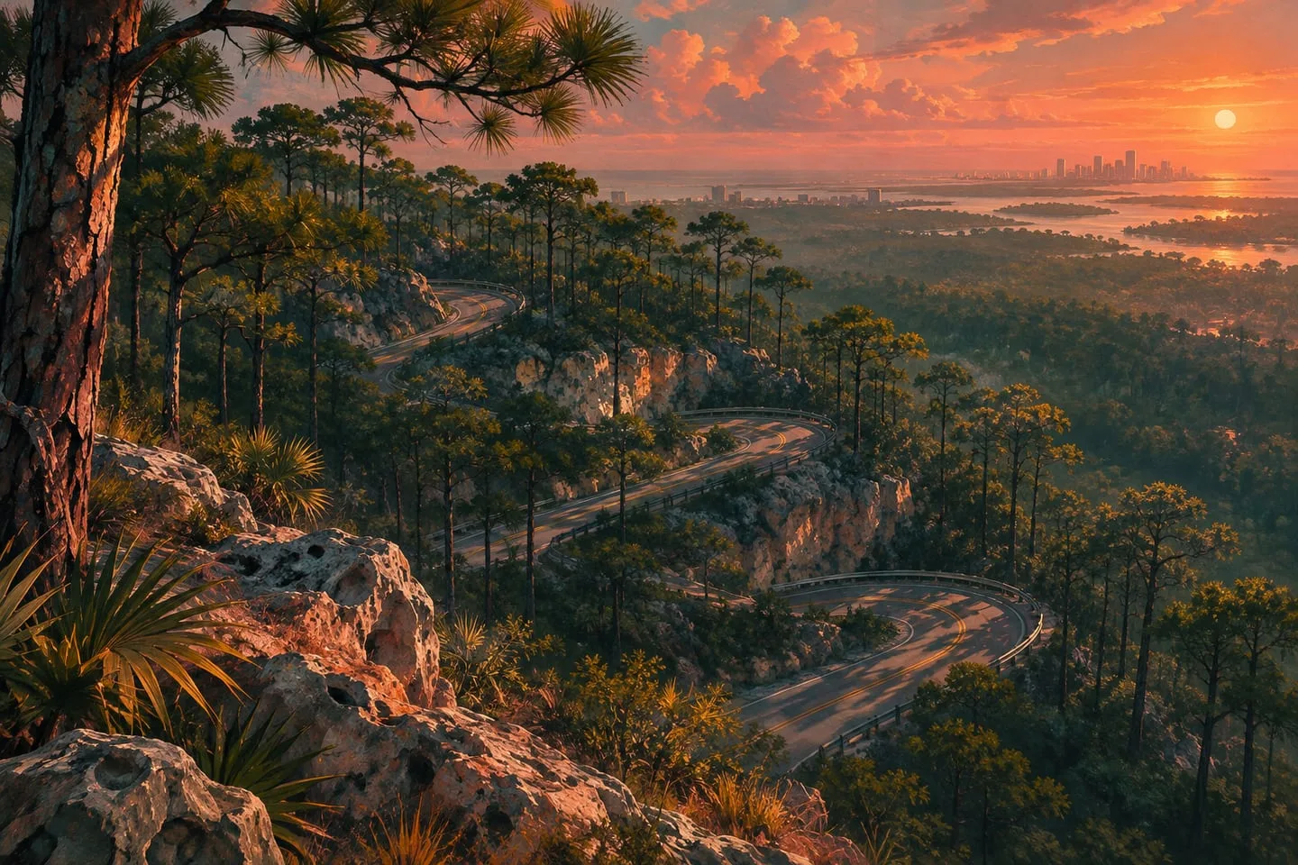
Mount Kalaga in GTA 6 — forests, ridges and a different side of Leonida
The national park adds elevation and woodland to the map. Understand why its routes read differently from the coast.
 GTA Lab3 min read
Elevation changes what you can see and where you can go
Mount Kalaga gives Leonida a national-park setting with wooded slopes and higher viewpoints. Unlike a flat coast, a ridge can hide the next road and make nearby locations appear disconnected. The official gallery is useful for recognizing that terrain, while a complete trail and access map will need routes verified in the game.
Read the park from the river outward
Rockstar’s national park gallery offers a contrast with Grassrivers: forested ridges, higher viewpoints and waterways below the tree line. Mark where a road or track appears to change elevation. Looking back downhill after the turn often reveals more about the layout than peering into a skyline where one ridge hides the next.
Choose a short first exploration
Find a paved approach, a distinctive bend and a place where the terrain opens up. Stop there before going farther off-road. In the official gallery, an apparently continuous tree canopy could cover several routes at different heights. In the game, choosing landmarks at different elevations gives you a more useful return path than following a single peak in the distance.
Find the angle of the land
Rockstar publishes a set of Mount Kalaga National Park screenshots. Look for where the horizon disappears and returns, and distinguish a ridge in the foreground from a distant summit. A road seen climbing for one bend may switch direction or level out outside the frame.
Record the viewpoint as well as the subject
A good location note says both what you saw and where you were facing. If you can identify a slope and a distinctive junction, save both. Leave the route between them blank until you can trace it; a panoramic image can give a false sense that two parts of a ridge are close.
Read a route from more than one viewpoint
A bend climbing away from a waterway can reveal little from below and become obvious when viewed back downhill. That makes paired images more valuable than a single scenic panorama. Look for a road edge, crossing or opening in the trees that survives the change in angle. For a first exploration plan, keep the return route recognizable before extending farther into the park. The wildlife guide covers the habitat angle, while the Dominator Buggy profile explains the official off-road connection to the region.