
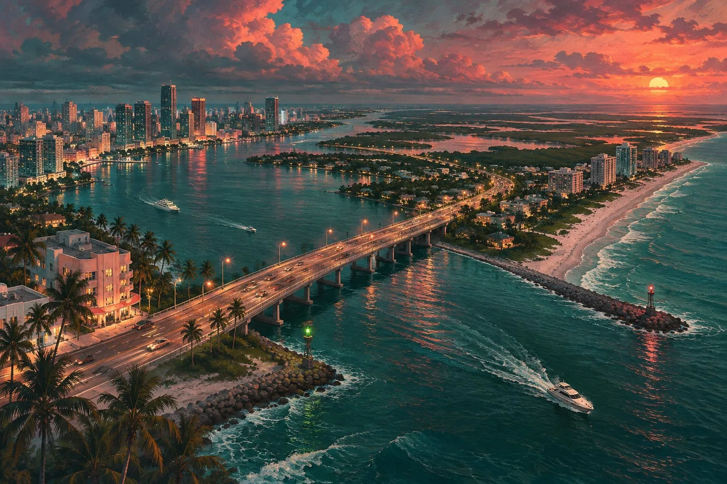
GTA 6 map regions — six places that make Leonida more than Vice City
Compare Vice City, the Keys, Grassrivers, Port Gellhorn, Ambrosia and Mount Kalaga through their landmarks and landscapes.
 GTA Lab3 min read
Leonida changes character as you leave the beach
Rockstar’s six named settings move from Vice City’s dense urban coast to the Keys, wetlands, roadside towns, industry and national-park terrain. That range is the most useful starting point for understanding the map. A region name tells you the kind of place to investigate, while a specific landmark helps connect an image or journey to it.
Start with three Leonida landmarks
Pair Vice City with Ocean Beach’s Art Deco waterfront, the Keys with Brian Heder’s boatyard and Grassrivers with the shallow channels in Rockstar’s gallery. Each introduction signals a different kind of trip. You can cross a city block on foot, follow a narrow road between islands or look out from an airboat across grass that reaches almost to the horizon.
Head inland and west for a change of pace
Ambrosia’s Allied Crystal sugar refinery gives the town a skyline tied to work rather than tourism. Port Gellhorn shows the other side of the holiday economy, with roadside attractions and motels well past their prime. Mount Kalaga is Rockstar’s named national park. Look through its gallery for shaded climbs and waterways, which give it a different rhythm from the flat coast.
Start with the places Rockstar has named
Rockstar’s preview highlights Vice City, the Leonida Keys, Grassrivers, Port Gellhorn, Ambrosia and Mount Kalaga. Use those six names as a vocabulary for exploring the trailers and screenshots. Vice City gives you the metropolitan reference point, the Keys give you islands and open water, and Grassrivers gives you a wetland comparison.
Save the remaining three for a second pass
Look at Port Gellhorn beside Ambrosia: both can give you roads and working buildings, without the immediately recognizable city skyline. Look at the Mount Kalaga gallery for terrain and changes in elevation. This is a viewing order; the official names establish distinct settings without telling us where one ends and the next starts.
The six settings at a glance
Use these associations as an orientation guide drawn from the official introductions. They describe each setting’s visual identity, rather than exact borders or measured travel times.
| Setting | A useful starting landmark or feature |
|---|---|
| Vice City | Ocean Beach and the urban waterfront |
| Leonida Keys | Brian’s boatyard and island causeways |
| Grassrivers | Shallow channels and wetland vegetation |
| Port Gellhorn | Motels and roadside businesses |
| Ambrosia | Allied Crystal sugar refinery |
| Mount Kalaga | Forested slopes and national-park waterways |