
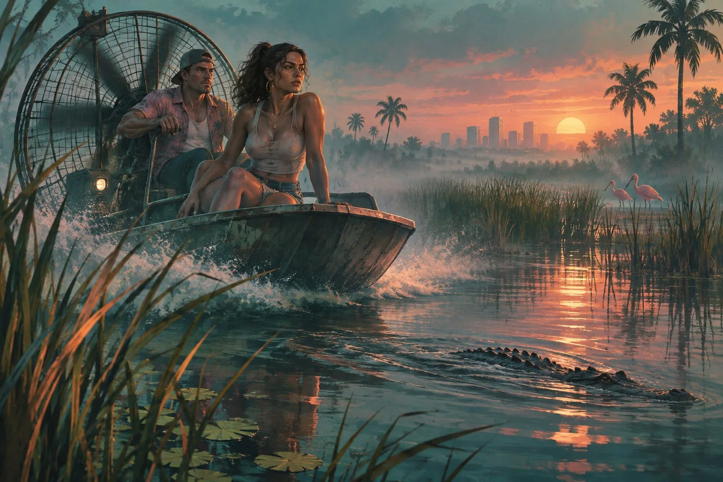
Grassrivers in GTA VI: airboats, mangroves and the wetland map
Start with the official wetland images, the visitor center and a landing point you can find again.
 GTA Lab2 min read
Why the airboat is an easy place to start
One of PlayStation’s official screenshots shows a boat from above in a swampy area. The angle lets you distinguish open water and low vegetation instead of relying on a cropped horizon. Compare that image with Rockstar’s numbered Grassrivers shots and look for ways the boat can leave the central channel without running straight into reeds.
Scout the shore before relying on it
The region’s visitor center is a useful reference in the community atlas. Use it as a place to start looking for an approach, then find a stretch of bank where a trip could reasonably continue on foot. A feature in the open water, such as a wake or an animal, is easier to recognize than its position is to reproduce. A fixed landing point makes a better bookmark.
Start with the open water
Trace the largest continuous ribbon you can see in a Grassrivers image. Foliage can hide shallow bends, and a reflection can make a shoreline look farther away. Look for a hard edge such as a raised bank or a dock before you infer where a boat could enter or leave.
Use a fixed reference on both sides
A clearly lit building or crossing makes a better meeting point than a patch of trees. Mark tentative observations by the image name until you can turn them into routes in the game. Keep an alternate landing point in your notes when neither side of a channel has an obvious exit.