
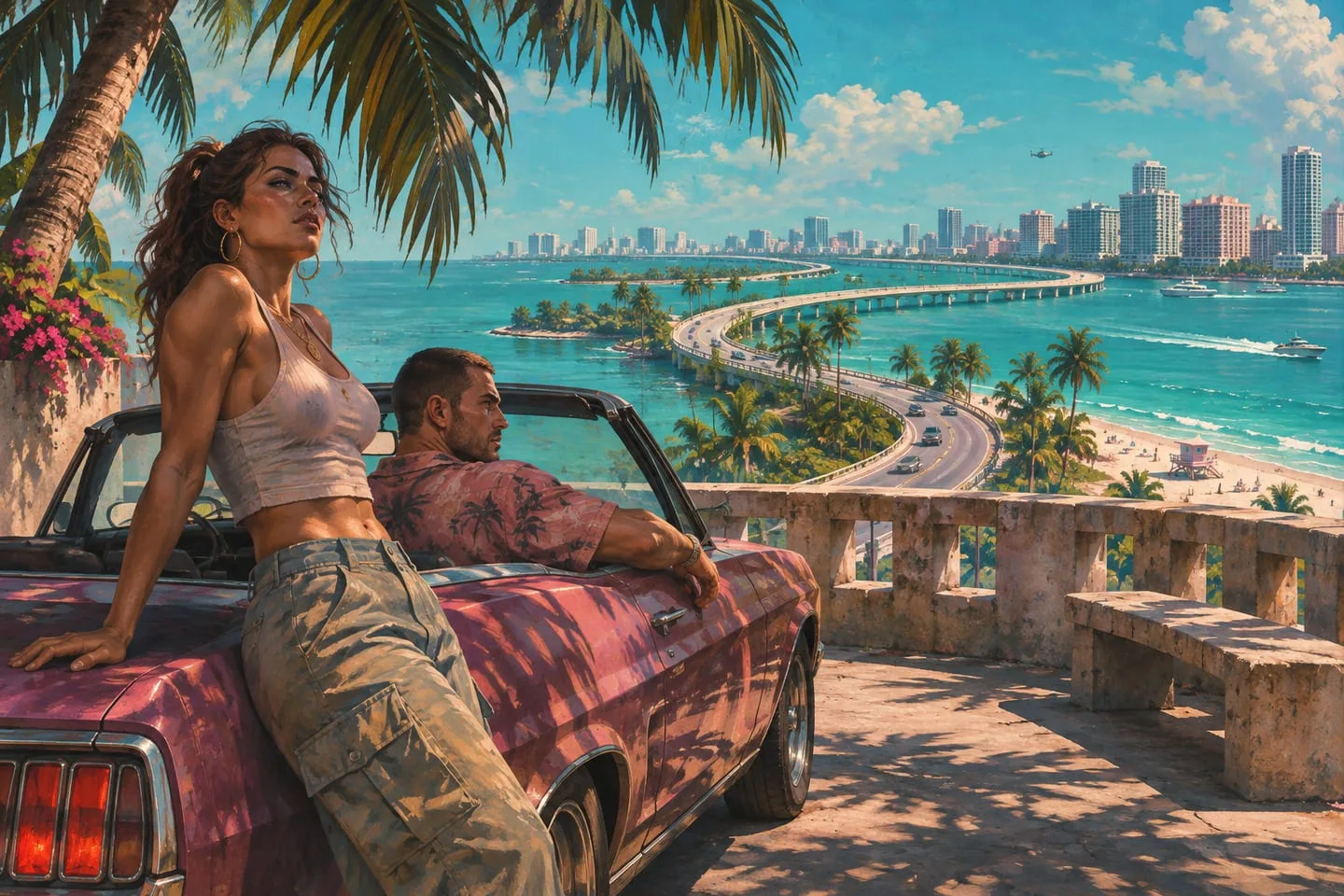
Three GTA 6 exploration ideas — city blocks, island roads and wetlands
Choose a compact first outing in Leonida around one landscape and a clear return point, using the places already introduced.
The latest updates and practical guides from across Leonida.
37 results · Map & locations
Choose a compact first outing in Leonida around one landscape and a clear return point, using the places already introduced.
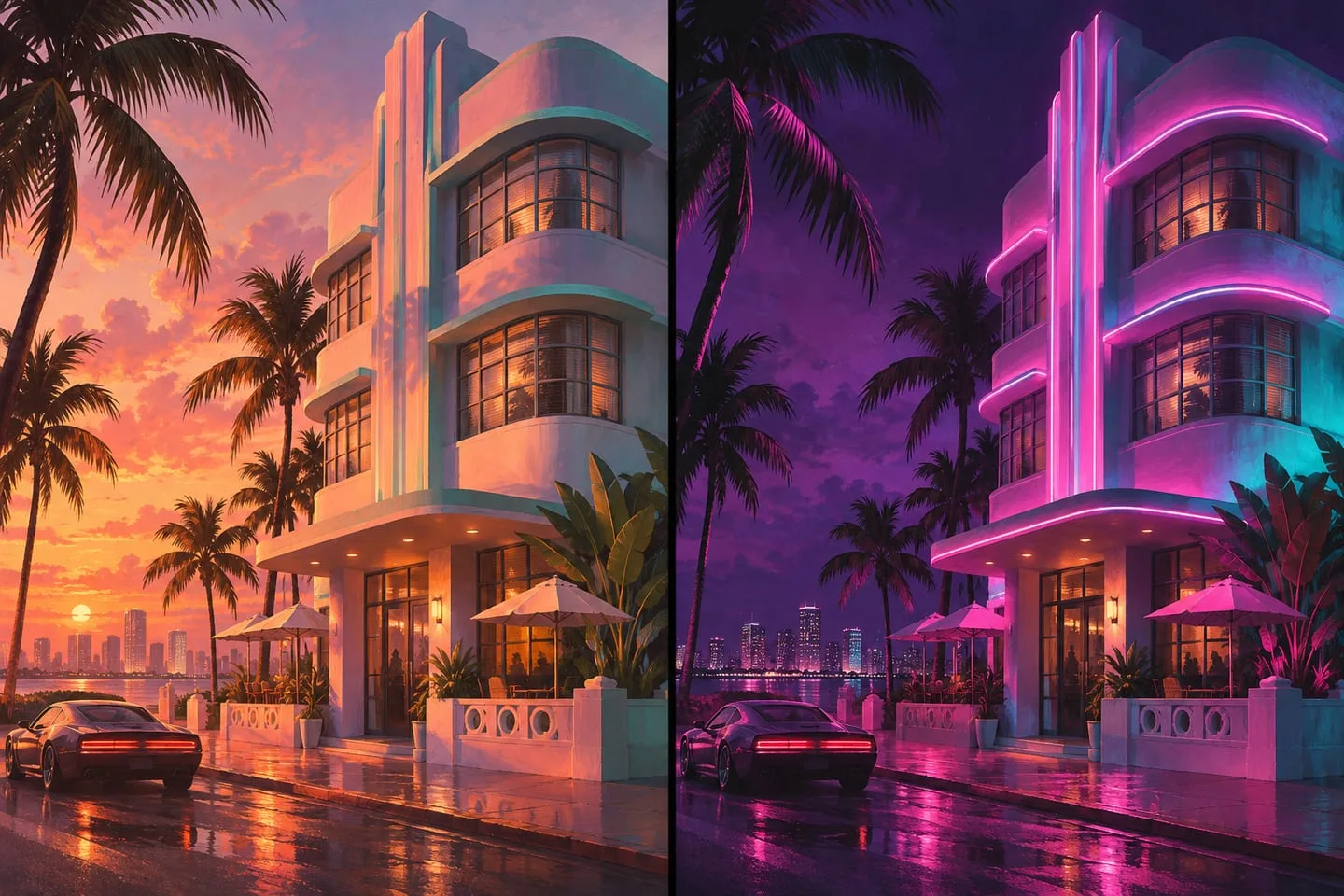
Use rooflines, intersections and permanent landmarks to compare official images when lighting changes the whole scene.

A practical method for matching official screenshots to Leonida without turning a plausible guess into an exact map pin.
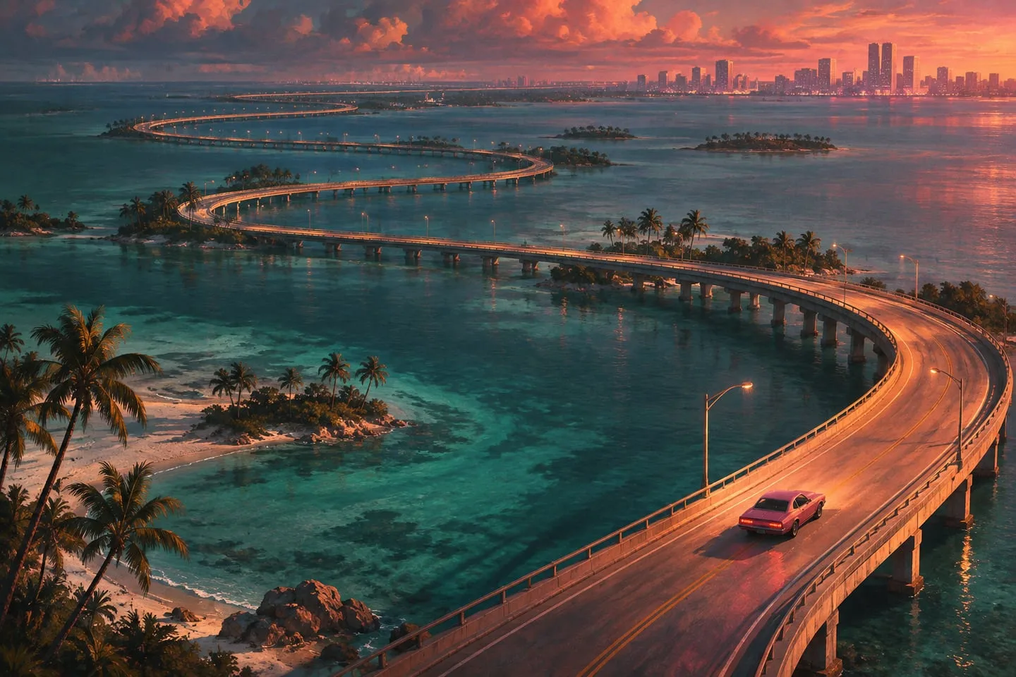
Water crossings, curved roads and terrain make travel distance different from straight-line spacing on a community map.

Rockstar’s weather interview describes storm cells and lingering puddles. Understand what those details mean for Leonida’s changing scenes.
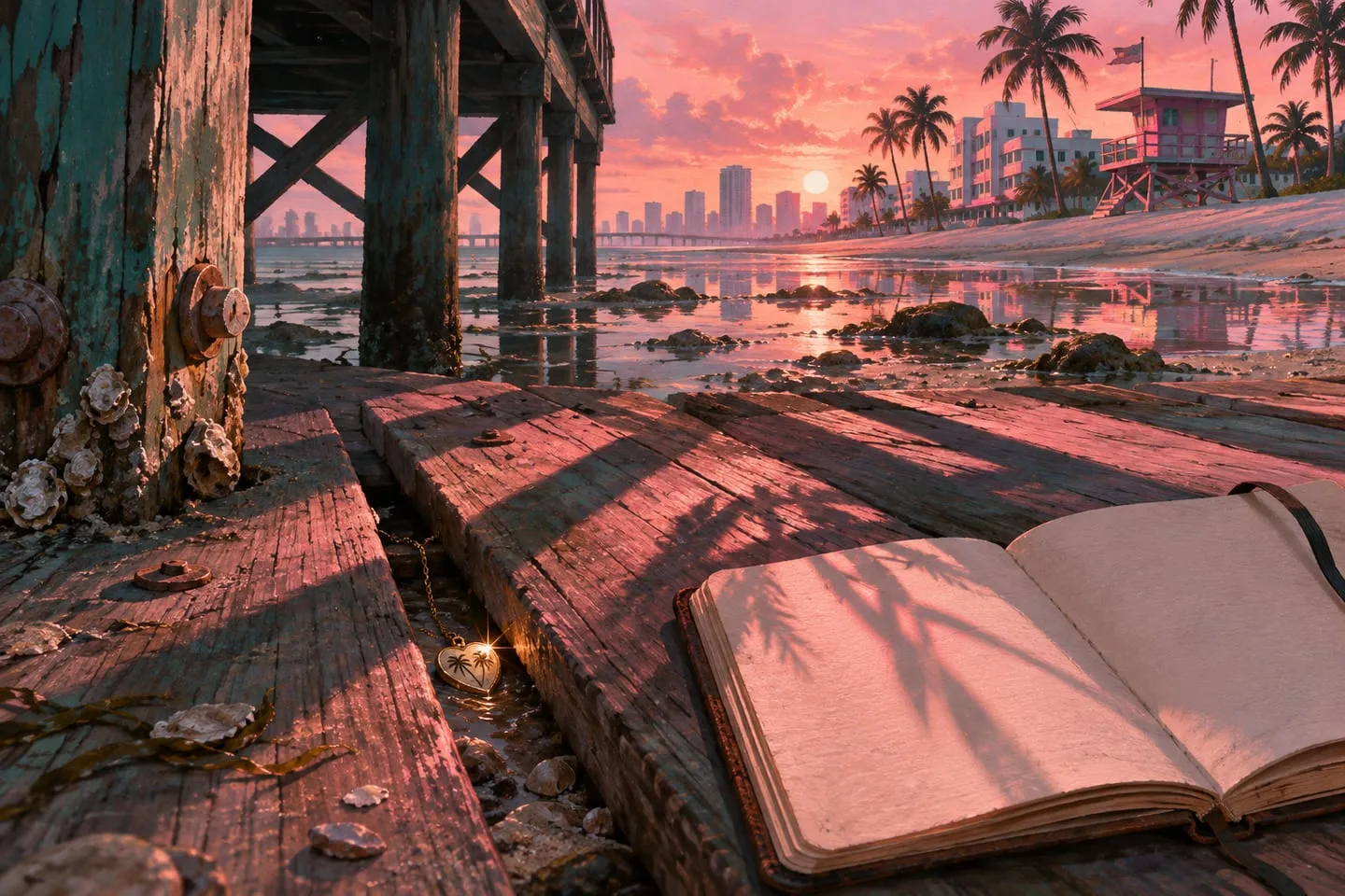
Keep confirmed pickups, map leads and completion counts organized so your own discoveries remain easy to revisit.
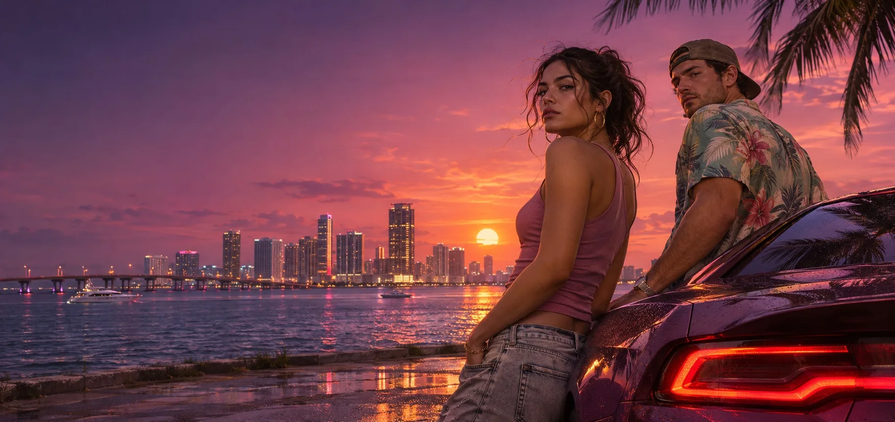
From Vice City’s neon avenues to the quiet water of the Keys, get to know the places that shape GTA VI.
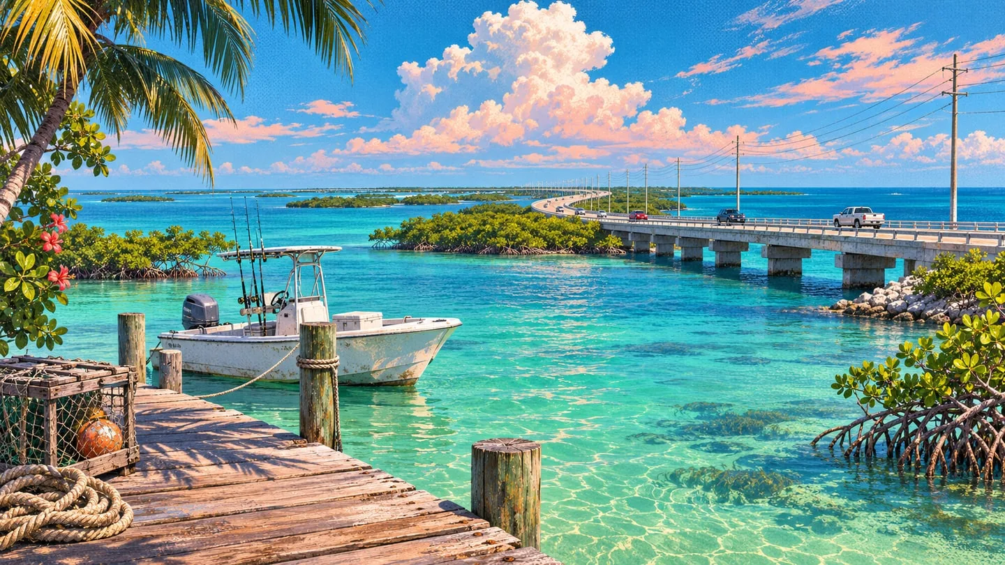
Rockstar’s latest gallery puts the city in focus and offers a fresh look beyond its waterfront.

Where to start in Rockstar’s launch gallery, from Vice City to the wider state.

The six locations Rockstar introduces, from Vice City to Mount Kalaga.

How to spot the difference between the island chain and Leonida’s wetlands.
Find a place, narrow the markers and share a link that opens at the right spot.